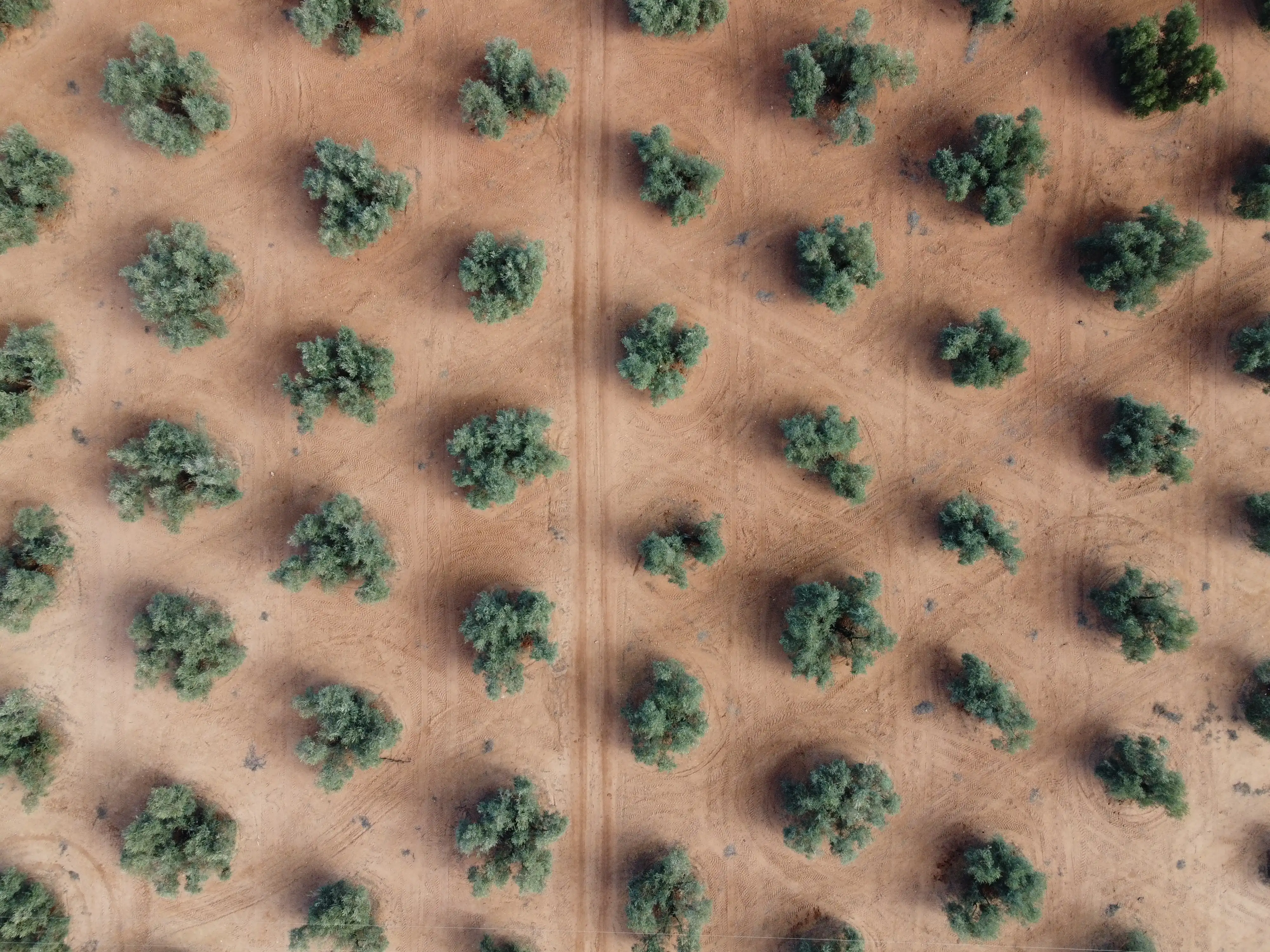
Your orchard, tree by tree: LiDAR + RGB characterization.

Canopy volume is the agronomic engine of a tree crop: it determines how much water each tree transpires, how much light it intercepts and how much it can produce. Our LiDAR + RGB flight measures it tree by tree and turns your orchard into a real inventory to base irrigation decisions on.

The canopy calls the shots

How much water a tree demands depends, above all, on how much canopy it carries. Two trees of the same age in the same plot can carry very different canopy volumes — and irrigating both with the same allocation costs yield in one and water in the other. An irrigation plan that does not know the orchard’s structure distributes water blind, no matter how many sensors sit behind it.

The age-old bottleneck, solved

Measuring canopies has always been the bottleneck of field agronomy: a pole, a measuring tape and a sample of a few trees extrapolated to the rest of the farm, with all the error that carries. Drone LiDAR solves it at the root: what used to be a sample of twenty trees is now the hundred thousand real trees of the orchard, measured in one morning.

What we deliver

3D model of the orchard

The high-density LiDAR point cloud of the whole farm: the complete structural photograph of the orchard, exactly as it stands this season.

Tree-by-tree inventory

Canopy volume, height and position of every tree, individualized. Not a per-plot average: every tree with its own record.

Missing trees and topography

Where trees are missing and what the terrain is like: slopes and elevation differences that condition the hydraulic design and how water is distributed.

A layer integrated into SAQIA

The structure does not stay in a report: it goes straight into the platform and sets how much water each irrigation sector demands.

Request your flight proposal

Tell us where your farm is, the crop and the area, and we will prepare a tailored characterization proposal.