Web and mobile app
The same data from the office or from the field: SAQIA runs in the browser and on your phone, so you can check the farm from wherever you are.
A flight that measures every tree, a sensor network that measures every irrigation event and agronomic judgement with decades of science behind it. SAQIA joins the three into one complete circuit: from your farm’s data to the weekly irrigation plan — and, if you want, to irrigation executed.
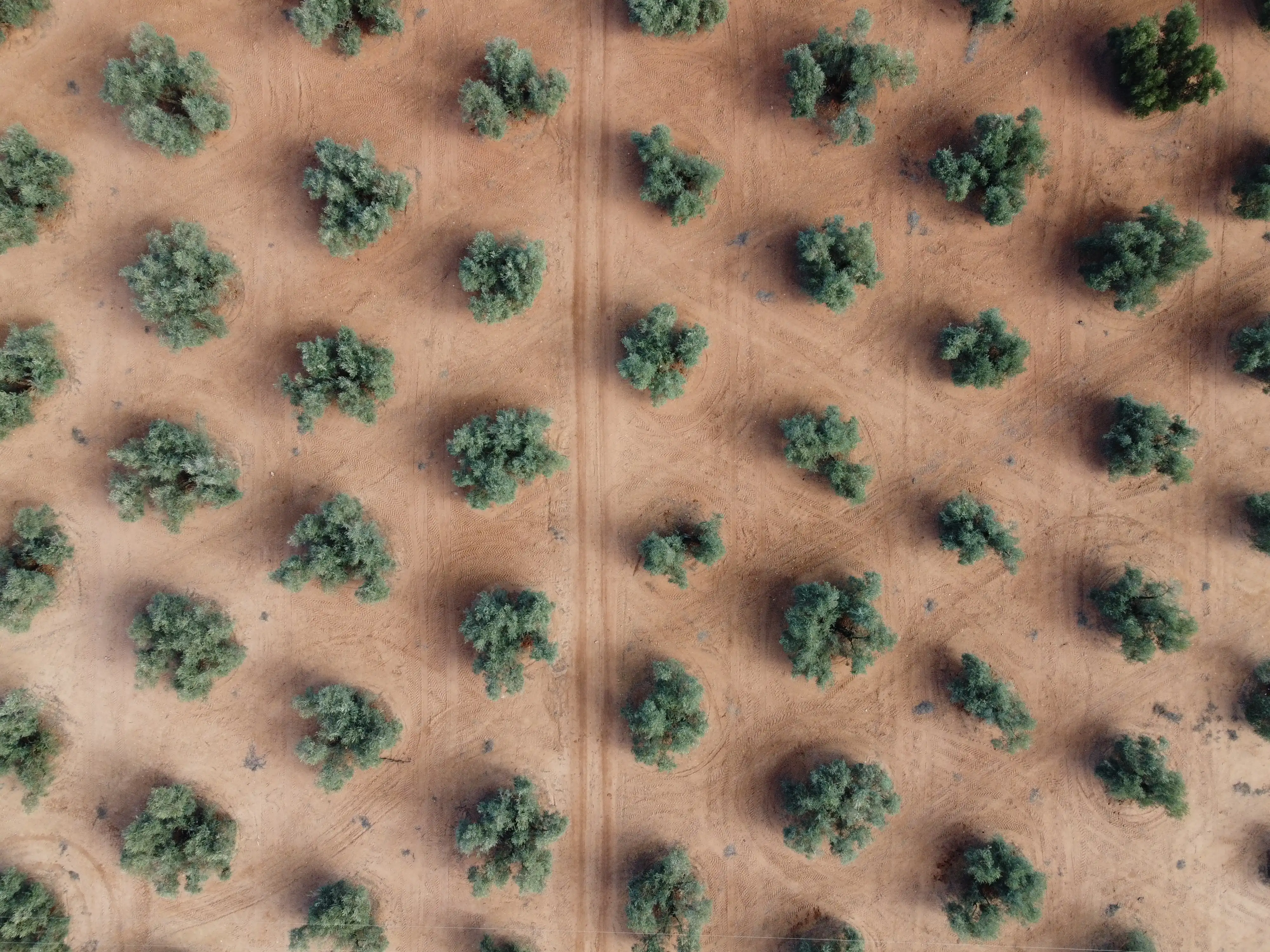
Everything starts with the structural layer from the LiDAR + RGB flight: the canopy volume of every tree, actually measured, not estimated. That structure sets how much water each sector demands — because a zone of full canopies does not irrigate like one with missing trees and young plants. Without this layer, any irrigation plan distributes water blind.
How LiDAR characterization worksThe weather station and the plant sensors measure continuously: each day’s evapotranspiration, the tree’s water stress via CWSI and the actual flow applied in every irrigation event. Not what you programmed at the head unit — what actually reached the crop.
What each sensor measures and why it mattersSAQIA integrates structure and measurement into a water balance per sector and turns it into a weekly irrigation plan with CSIC agronomic judgement: how much and when to irrigate each sector, according to the moment in the season and what the plant is saying.
The Monitor, Advisor and Autopilot service levelsWith automation installed, the plan does not stay on paper: SAQIA executes it on your valves, sector by sector, with every opening logged. You approve and supervise from your phone; you don’t lose the wheel — you lose the rounds.
How your irrigation gets automated, no trenching or cablingThe same data from the office or from the field: SAQIA runs in the browser and on your phone, so you can check the farm from wherever you are.
Owner, technician and foreman each see what they need: from the full-season balance to the next day’s irrigation schedule.
Every irrigation event, every alert and every weather reading is stored season after season. The farm’s memory stops living in notebooks.
At the close of each season, a report with the actual water applied sector by sector: what was really irrigated, not what was planned.
Tell us your crop, area and sectors, and we will show you the platform in a technical meeting with one of our agronomists.